Sitka Waterfront Homebuyer Glossary & Local Terms Guide
November 21, 2025
November 21, 2025
Shopping the shoreline around Sitka and seeing words like tidelands, mean high water, or private moorage? You are not alone. Waterfront listings here often mix legal terms, local habits, and tide-talk that can be hard to decode. You want clarity before you write an offer or plan a dock.
This plain-English glossary explains the most common Sitka waterfront terms, what they mean for your rights and responsibilities, and what to verify before you buy. You will also get a practical checklist and trusted places to confirm details. Let’s dive in.
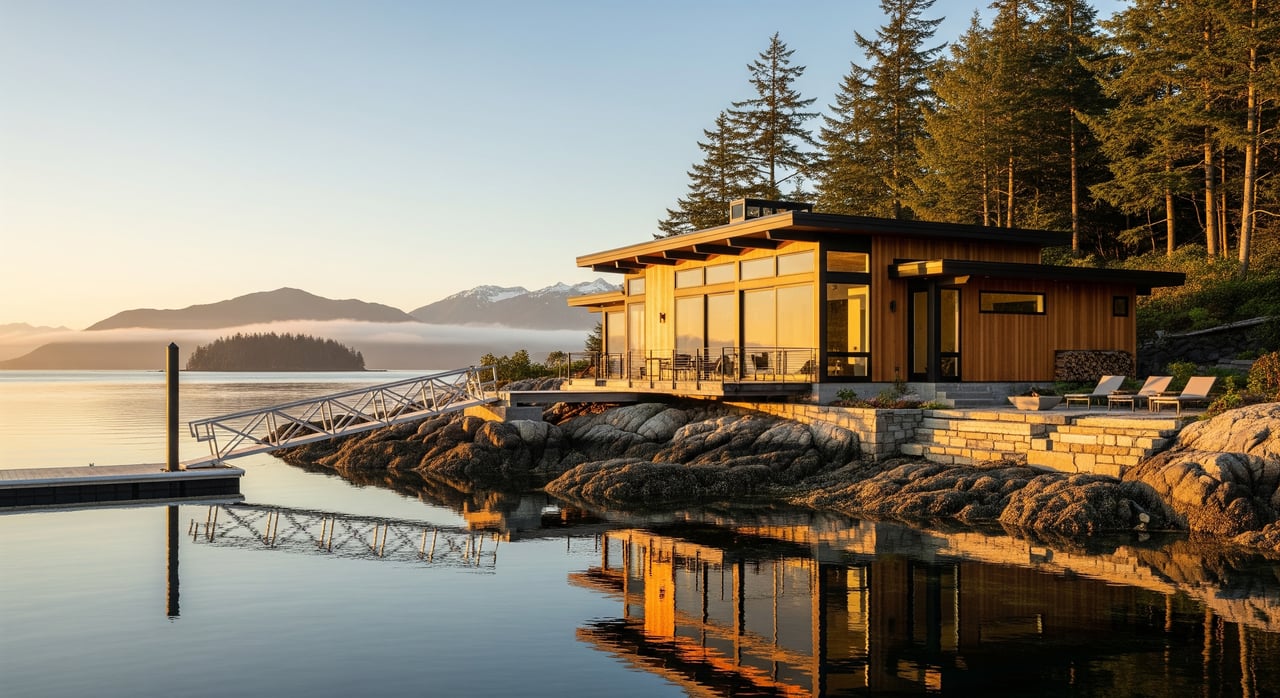
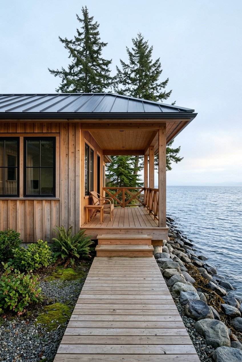
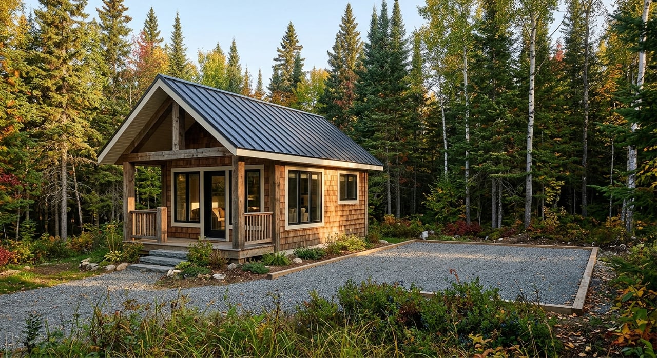
The uplands are the portion of a parcel landward of the legal high-tide line, often the mean high-water line. This is typically the area you clearly own and where homes, driveways, and septic systems are placed. Most private improvements happen here, and rules differ from tidelands.
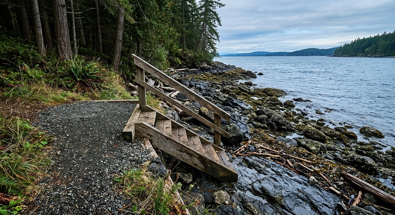
Tidelands are the area seaward of mean high water. In Alaska, tidelands are generally state-owned unless previously conveyed or leased. If a listing claims tidelands are included, you should see a state conveyance or lease that proves the right to use or control that area.
Mean High Water is the average of all high tides over a 19-year period. The MHW line usually marks the legal boundary between uplands and tidelands. Its exact location can affect property lines, setbacks, and permits, so rely on recorded surveys or a local surveyor rather than photos.
Littoral rights apply to tidal or coastal waters like those around Sitka. They usually include access to and use of the water, but not the right to exclude the public from navigable waters. Riparian rights apply to rivers and streams and are more relevant for freshwater parcels.
Filled tidelands are former intertidal areas that were filled to create dry ground. Private use usually depends on a state conveyance or lease. If you see “upland created from filled tidelands” in a listing, ask for the paperwork and any restrictions.
These are lands below mean high water and under navigable waters that are often held by the state for public trust purposes. Building or moorage on these areas commonly requires state leases and federal permits.
True sandy beaches are rare in Sitka. Listings may describe a small pocket of cobble or a firm tidal flat as “beachfront.” Ask for survey details and photos at both high and low tide.
This is the norm in Southeast Alaska. It can limit easy beach walks but may offer more secure anchorage for small craft, depending on exposure and bottom conditions.
Steep banks can require special foundations and may come with setback limits. If you see signs of slumping or erosion, factor in stability assessments.
These are shore protection structures. They require permits and routine maintenance. Ask for copies of permits and any repair history.
These areas are ecologically sensitive. Docks or shoreline work near them often trigger extra reviews and special conditions.
A pile-supported structure that stays at a constant height. It is durable but often costlier to install and almost always requires state and federal approvals.
A float rises and falls with the tide. This is common in Alaska due to tidal range. Floats can be attached to piles or anchored offshore.
A jointly owned and maintained dock. You should verify the recorded agreement, access rights, maintenance rules, and fees.
A berth at a commercial marina. Some listings highlight proximity or reserved slip rights. Confirm the terms in writing.
A boat ties to a buoy rather than a dock. This can be less expensive but more exposed to weather.
Equipment that lifts a vessel out of the water. It may require extra structural support and permit review.
A listing may say “floatplane accessible” to describe suitable water conditions. That does not guarantee a floatplane-rated dock or tie-up rights. Ask for specifics.
Road access plus shoreline is convenient for residential living. Water-access-only parcels may require a skiff or floatplane for building, utilities, and emergency response. Plan for transport costs and weather windows.
These provide the right to cross another property to reach the shore. Confirm the recorded route, who can use it, and who maintains it.
Expect to see documentation for existing docks, seawalls, and other shoreline work. Older structures may exist without full permits, so ask for approvals or proof of grandfathered status.
This could be a deeded dock parcel, an assigned slip at a community dock, or a nonexclusive right under an HOA. Ask for the recorded document that defines your exact rights and costs.
This implies the seller has a state conveyance or lease for lands seaward of mean high water. Request copies to confirm.
Likely a jointly owned or managed facility. Verify access rules, insurance, maintenance obligations, and fee schedules.
Shore protection exists. Ask for permits, engineer reports if any, and recent repair history.
Water conditions may be suitable for seaplanes, but infrastructure can lag. Confirm where planes tie up and any operating restrictions.
The property stops at the mean high-water line. The foreshore is not included and may be state-controlled.
Sitka’s tidal range affects dock design, floatation, gangway length, and pile height. Review the NOAA Sitka tide station for local tidal datums and behavior.
Eelgrass and kelp beds are protected habitats. Expect more review for pilings, docks, or armoring near these areas and coordinate early with the Alaska Department of Fish and Game.
High-energy shorelines and storm events can accelerate erosion. Hardened shorelines usually require permits and maintenance.
Alaska has seismic and tsunami risk. Check local evacuation maps and consider the elevation of homes and critical utilities above MHW.
If you want a second set of eyes on a listing, or need help assembling permits and surveys, we are here to help. For on-the-ground context and media-rich previews of shoreline, docks, and access, connect with Suzanne Marina Jasso to Request a Virtual Tour or Local Consultation.


I know that hard work, knowledge and dedication are required to earn my client's business, respect, and most importantly their trust. I would be honored to work with you in any real estate dealings